One API, multiple national met sources. Compare, don’t gamble.
Authoritative meteorological and aviation data in a single REST endpoint, merged worst-case on safety-critical fields. Every response carries per-source attribution and an explicit list of unavailable fields, so your application can audit data quality field by field instead of trusting a black-box composite.
What single-source weather APIs leave on the table.
DroneInfo aggregates national meteorological services into one normalised envelope. When providers disagree on a safety-critical field, we apply a pessimistic merge and surface the contributing sources, so your application can present a single conservative reading without losing provenance.
Multi-source merge
Authoritative meteorological and aviation feeds, blended worst-case on safety-critical fields so the reading you ship is the one your pilots can trust.
Real-radar nowcast
A 2-hour precipitation nowcast from national ground radar where we run an adapter - Norway/Sweden, Germany, UK, USA, Canada, Denmark, Japan - with an honest model fallback everywhere else. radarCoverage tells you which one answered.
Honest unavailable
When coverage is missing, the field returns null with a reason. No silent interpolation across coverage gaps.
Self-hosted forecast for EU
Our forecast model runs on dedicated infrastructure. Sub-200 ms p50 latency in Europe. Aviation METAR/TAF and the Kp index included on every tier.
How DroneInfo compares to single-source alternatives.
A side-by-side review of multi-source meteorological data against the typical single-source weather API.
A single envelope across every provider.
Each response carries the contributing sources, an explicit unavailable array, and units that remain consistent across regions.
- REST and JSON. Stable schema across all regions.
- Per-field source attribution and timestamps.
- Aviation METAR and TAF available from the Hobby tier.
{
  "location": { "lat": 52.52, "lon": 13.405 },
  "observedAt": "2026-05-05T08:00:00Z",
  "wind": {
    "speed_ms": 7.4,
    "gust_ms": 11.2,
    "height_m": 10,
    "sources": ["dwd_icon", "met_no"]
  },
  "precipitation": { "mm_h": 0.0, "sources": ["dwd_icon"] },
  "visibility_m": 9800,
  "spaceWeather": { "kp": 3.0 },
  "unavailable": []
}From your first call to production scale.
A permanently free tier, paid plans from $9 a month, and no overage charges. Every plan ships the same multi-source data and the same per-source attribution.
The same endpoint runs our pilot application.
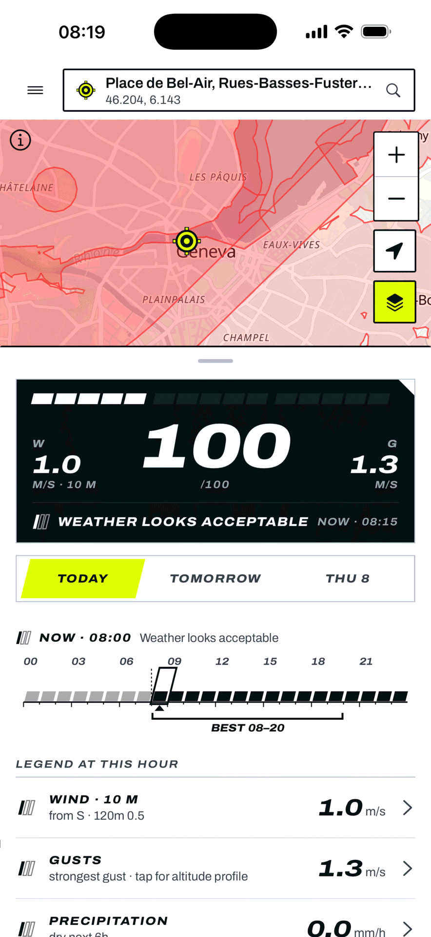
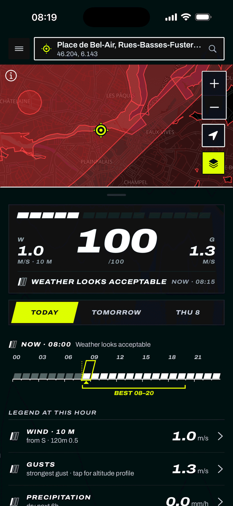
DroneInfo’s consumer application for drone pilots reads from the same public API. The pessimistic merge, the per-response source attribution, and the null-with-reason gap handling are visible in production today.
Live forecasts for San Francisco, London, and Tokyo render directly from the endpoint your application would consume.
Integrate drone weather in days, not months.
Request a free key, query the endpoint, and inspect the sources behind every value.